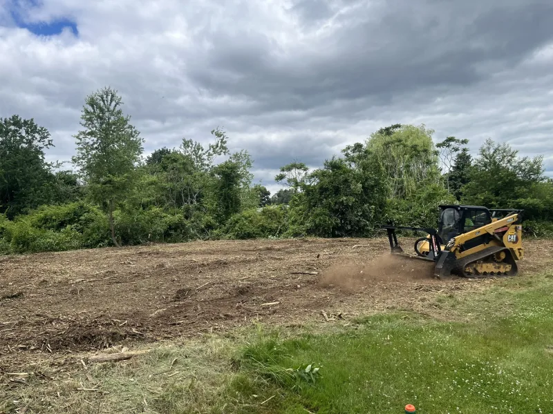
Forestry Mulching
Thick brush, briars, and small trees ground into a clean mulch layer on-site in a single pass — no burning, no hauling, no debris piles.
Learn More
As an FAA Part 107 Certified Drone Pilot, Mike captures high-resolution aerial imagery and drone mapping across Rayville, Monroe, Ruston, Bastrop and across Northeast Louisiana that gives you a complete view of your property. It is a powerful tool for planning improvements, documenting work, marketing land for sale, and spotting opportunities you simply cannot see from the ground — drainage patterns, old roads, encroachment, and the real lay of the land.
For hunting properties it goes further: aerial scouting and deer-herd analysis help you understand the game your land holds and manage it intelligently. Drone imagery also makes our other work better — we use it to plan land clearing, lay out roads and access, and design food plots and habitat before a machine ever rolls.
Walking a property tells you only so much. From the air you can see how the whole tract fits together — how it drains, where the old roads and trails run, where it is growing up, and how the boundaries actually lie. That view turns guesswork into a plan.
We use aerial imagery to scope and document our own work — clearing, roads, pads, ponds, and habitat — so you can see the property before, during, and after. For land going on the market, strong aerial imagery shows buyers the full picture and helps it sell.
For hunters and habitat managers, the drone is a scouting tool. Aerial imagery and deer-herd analysis reveal travel corridors, bedding, food sources, and how game is using the property — the kind of insight that takes the guesswork out of stand placement and plot design.
Combined with Big Cypress habitat work, it closes the loop: see how the deer use the land, build the food plots and lanes to match, then verify the results from above.
From the first call to the final pass, here’s exactly what working with us looks like.
Fill out our quick estimate form or give us a call. Tell us about your property and what you’re trying to accomplish.
We walk the ground with you, assess the conditions, and talk through the best plan for your land — clearing, improvements, habitat, and access.
You get a straightforward plan and a free, no-obligation estimate — viewed through the lens of usability, wildlife, and long-term value.
Our crew arrives ready to clear, shape, and improve your property with the care of a fellow landowner — and leave it ready for what’s next.
Common questions about drone mapping across Northeast Louisiana. Don’t see yours? Give us a call — we’re happy to help.
Thick brush, briars, and small trees ground into a clean mulch layer on-site in a single pass — no burning, no hauling, no debris piles.
Learn More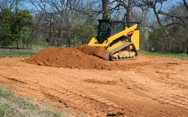
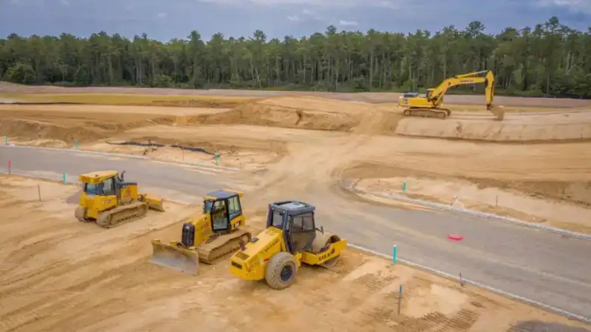
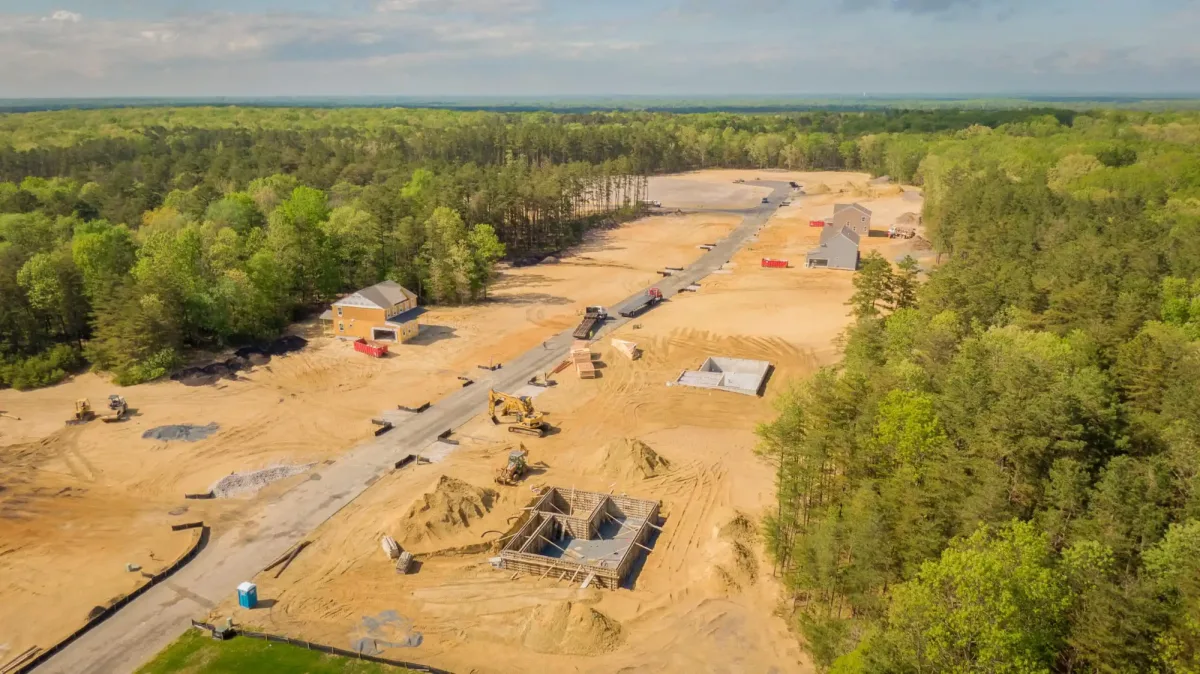
From building pads to leveling and drainage shaping, we move and grade earth to spec — stable, well-drained ground ready for construction, ag, or recreation.
Learn More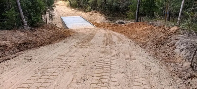
New gravel driveways, interior roads, trails, and culvert crossings built to hold up to Louisiana weather — reliable access to and through your land year-round.
Learn More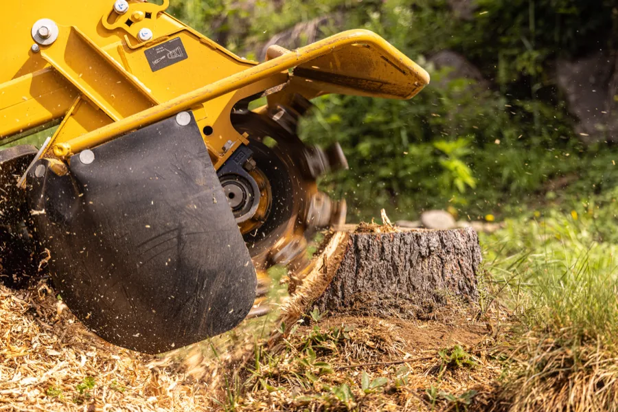
Old and fresh stumps ground out below grade so you can mow, build, plant, or clear — from a single yard stump to a whole cleared tract.
Learn More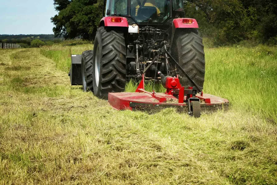
Overgrown pastures, fields, fence lines, ditch banks, and lots mowed back with a rotary cutter — one-time reclaim or a seasonal maintenance cut.
Learn More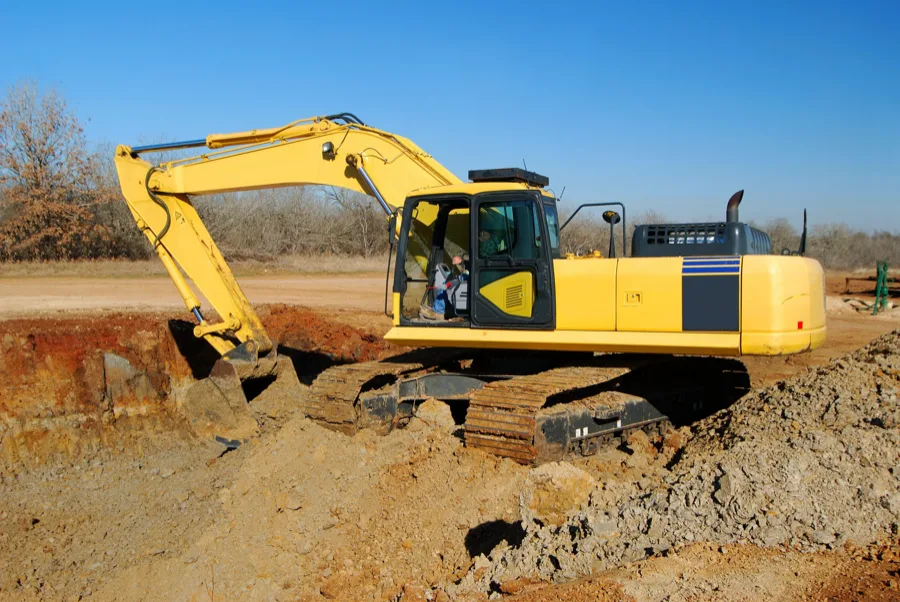
New recreational, fishing, livestock, ag, and crawfish ponds built — and existing ponds cleaned out and reshaped — sited and shaped to hold water and last.
Learn MoreMike owns and improves his own land — adding roads, ponds, food plots, and habitat. We treat your property the way we treat ours: practical, durable, and built to last.
Backed by a nationally recognized land specialist ($52.5M+ sold). Every improvement is made with usability, recreational appeal, and long-term property value in mind.
Hands-on USDA and NRCS habitat experience — food plots, shooting lanes, and deer management designed around how game actually uses your land.
Part 107 certified aerial imagery, property mapping, and drone-based deer herd analysis — insight few land-improvement companies can offer.
Based in Northeast Louisiana and licensed across LA, AR & MS, with deep regional knowledge of the land, the soil, and the market.
Fully insured for your protection and peace of mind — your property, your project, and your investment are covered from the first pass to the final grade.
Ready to clear, improve, or get more out of your property in Northeast Louisiana? Reach out today for a free, no-obligation estimate — and put a fellow landowner’s experience to work on your land.